Educational resources
Filters Education level
Language
Search for resource
Education level

Language
Search for resource

Teaching and learning material
 Ocultar sección
 Mostrar sección
There are no resources of this type for the selected criteria.

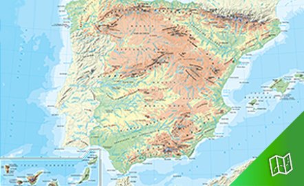
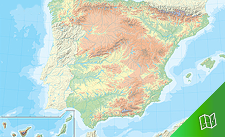
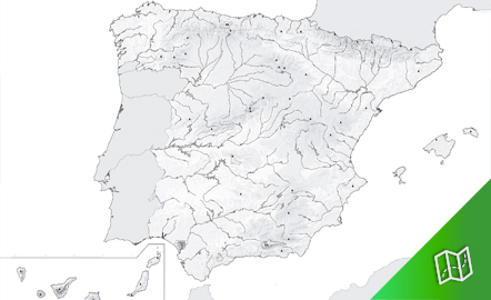
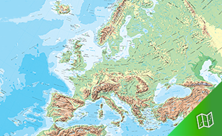
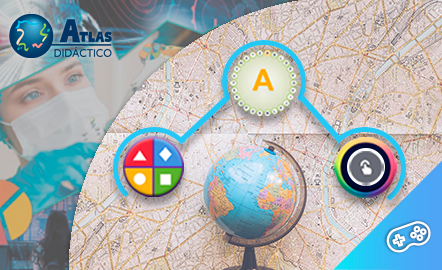
España a través de mapas interactivos. Un complemento multimedia de Geografía para ESO y bachillerato.
Close
(cierra ventana modal)
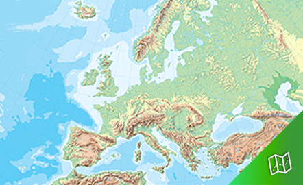
Specially for EBAU/EVAU access test.
Close
(cierra ventana modal)
Discover the monograph of the COVID-19 pandemic in Spain through maps, graphs, tables and images.
Close
(cierra ventana modal)
How maps help us to identify them.
Close
(cierra ventana modal)
What economic activities are settlements characterized by?
Close
(cierra ventana modal)
Case study of the town centre of Torres (Jaén).
Close
(cierra ventana modal)
Discovering coastline landforms.
Close
(cierra ventana modal)
In search of the third dimension in cartography.
Close
(cierra ventana modal)
An adventure on Captain Nemo’s island.
Close
(cierra ventana modal)
The treasure map.
Close
(cierra ventana modal)
Why are they useful?
Close
(cierra ventana modal)
Can a photograph be turned into a map?
Close
(cierra ventana modal)
We are going on a trip with a compass.
Close
(cierra ventana modal)
A high-level trip.
Close
(cierra ventana modal)
Can you get by in this city?
Close
(cierra ventana modal)
Identifying coastal topography from photographs.
Close
(cierra ventana modal)
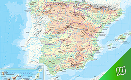
A simple manual of cartography.
Close
(cierra ventana modal)
The book that teaches everything about maps.
Close
(cierra ventana modal)
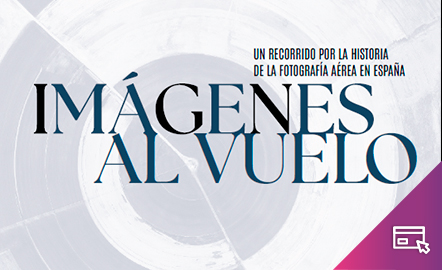
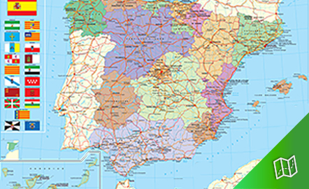
Atlas of historic roads in Spain, America and the Philippines.
Close
(cierra ventana modal)


¿Qué sabes sobre los terremotos y los tsunamis?
Close
(cierra ventana modal)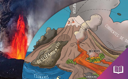
Aprende sobre los volcanes, las islas Canarias y el volcanismo de La Palma
Close
(cierra ventana modal)

Maps
 Ocultar sección
  Mostrar sección
 There are no resources of this type for the selected criteria.
Close
(cierra ventana modal)
Close
(cierra ventana modal)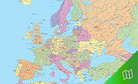

Videos
 Ocultar sección
  Mostrar sección
 There are no resources of this type for the selected criteria.
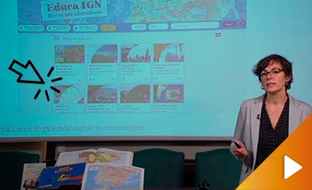
Conoce los recursos de información geográfica para docentes y estudiantes.
Close
(cierra ventana modal)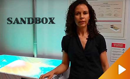
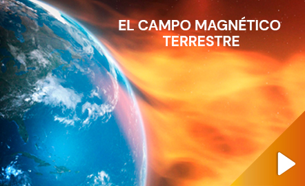
Descubre el campo magnético terrestre y cómo nos afecta.
Close
(cierra ventana modal)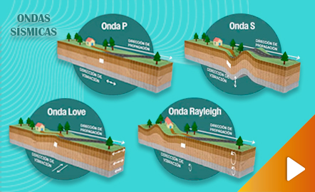

Volcanoes reveal the active forces inside the Earth.
 6-12 years 6-12 years
  12-18 years
  +18 years Go to quiz (abre en ventana nueva)
 +Info
(información ampliada en ventana modal)Close
(cierra ventana modal)
Discover the technology that enables to explore the terrain without being in contact with it.
12-18 years +18 years Go to quiz (abre en ventana nueva) +Info
(información ampliada en ventana modal)Close
(cierra ventana modal)
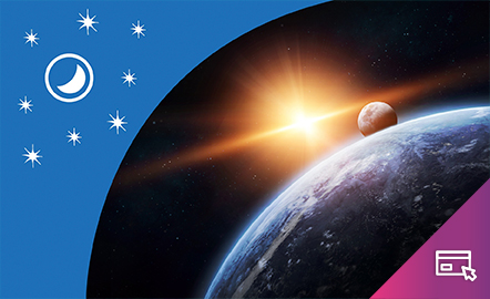
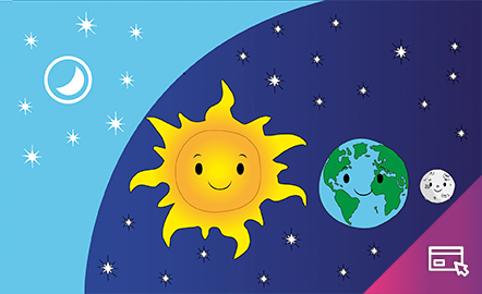
Dou you still think the Earth is flat?
12-18 years +18 years Go to quiz (abre en ventana nueva) +Info
(información ampliada en ventana modal)Close
(cierra ventana modal)
Can you read a map?
6-12 years 12-18 years +18 years Go to quiz (abre en ventana nueva) +Info
(información ampliada en ventana modal)Close
(cierra ventana modal)
How and where earthquakes and tsunamis occur.
6-12 years 12-18 years +18 years Go to quiz (abre en ventana nueva) +Info
(información ampliada en ventana modal)Close
(cierra ventana modal)
How does mobile apps location works?
6-12 years 12-18 years +18 years Go to quiz (abre en ventana nueva) +Info
(información ampliada en ventana modal)Close
(cierra ventana modal)
Have you ever felt lost in the countryside?
6-12 years 12-18 years +18 years Go to quiz (abre en ventana nueva) +Info
(información ampliada en ventana modal)Close
(cierra ventana modal)
A global positioning system in your pocket.
Close
(cierra ventana modal)


Create population pyramids using free software.
Close
(cierra ventana modal)
Take a virtual trip.
Close
(cierra ventana modal)
Learn the map-making process with us.
Close
(cierra ventana modal)
Games
 Ocultar sección
  Mostrar sección
 There are no resources of this type for the selected criteria.

Interactive geography games.
Close
(cierra ventana modal)
Available on iOS, Android and Huawei devices.
Close
(cierra ventana modal)

Train your knowledge with the Didactic Atlas catalogue of games.
Close
(cierra ventana modal)

Viewers
 Ocultar sección
  Mostrar sección
 There are no resources of this type for the selected criteria.
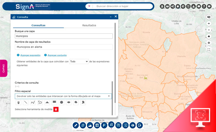
Cartographic viewer of maps and geographic information layers.
Close
(cierra ventana modal)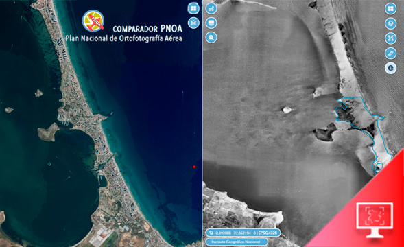
Allows comparison of orthophotos from different years
Close
(cierra ventana modal)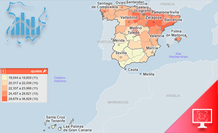
Statistical thematic map viewer of the National Atlas of Spain
Close
(cierra ventana modal)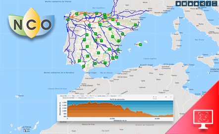
Discover and download touristic information
Close
(cierra ventana modal)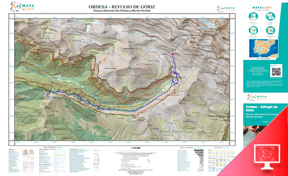
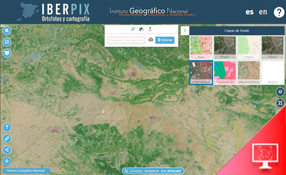
Web application to create and customize maps or aerial images
Close
(cierra ventana modal)


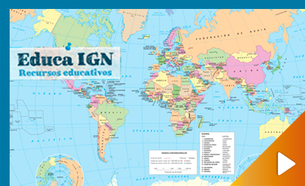
Educa IGN, the educational resources portal of the IGN
The dissemination of an understanding of cartography in society, the promotion of training in cartography and geography, and the design and maintenance of a line of products for education and teaching are some of the functions of the Nacional Geographic Institute and the National Centre for Geographical Information.
The educational resources of the IGN include:
- Online materials: Web applications, maps, games, educational videos for all ages accessible on this web portal.
- Paper products: Maps, puzzles and books available from the Virtual Shop of the CNIG with a discount of 25% for schools.
- Attendance-based activities: Visits to offices and workshops in collaboration with the UPM and the FECYT.
- Training and teaching of Earth sciences and geographic information technologies.
If you would like to receive information, you can register in the Educa IGN Form indicating what you are interested in or contact us by sending an email to educativo.ign@cnig.es